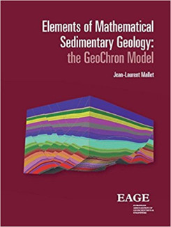
Elements of Mathematical Sedimentary Geology
The purpose of this book is to offer a mathematically well-defined unified framework to model sedimentary terrains. The core of this framework, named 'GeoChron', consists of a curvilinear coordinate system (u,v,t) which superimposes on the rectilinear coordinate system (x,y,z) commonly used to locate particles of sediment in the subsurface. For each particle of sediment observed today at location (x,y,z), coordinate (t) represents the geologicaltime ('Chron' in GeoChron) at which this particle was deposited whilst (u,v) represent the paleo-geographical coordinates ('Geol' in GeoChron) of this particle when it was deposited. The u (x,y,z), v (x,y,z) and t (x,y,z) functions link the geological space (x,y,z), as it is observed today, to the depositional-space (u,v,t) and the 'uvt-transform®' thus defined plays a central role in using GeoChron to model the subsurface. In the (u,v,t) space, the image of each horizon is a horizontal plane where seismic attributes are easier to interpret and where reservoir properties are more accurately modeled.
- Genre: All Books, Geomodeling
Cast & Characters
Theoretical presentation of the GeoChron model
Applications of the GeoChron model
Annexes
| 1-58 | Introducing the GeoChron model |
| 59-96 | Deformations of sedimentary terrains |
| 97-124 | Curvature of sedimentary terrains |
| 125-146 | Stratigraphic distance & riemannian G̃-space |
| 149-166 | Property modeling |
| 167-182 | Upscaling permeability |
| 183-196 | Modeling fault properties |
| 197-220 | Modeling fault properties |
| 221-240 | Geometricals uncertainties |
| 241-252 | Seismic interpretation |
| 253-268 | Estimating the paleo-bathymetry |
| 271-304 | Tensors |
| 305-338 | Differential geometry |
| 339-360 | Discrete smooth interpolation |

